Last Sunday Kate and I tried a new hike. We went to Boreal Ski Ranch to pick up the Pacific Crest Trail head but instead of going north toward Castle Peak, we instead went south planning to see the three lakes … Azelea Lake, Flora Lake and Lake Angela. The PCT is well worn so its a great trail, easy rolling at around the 7200 foot level.

In about a mile we found a trail off to our right and looking at my Garmin Dakota GPS it had to be the trail to the first lake, Azelea. Sure enough a real beauty. (click images for full size)
 The next lake, Flora Lake was not far away at all according to the GPS and sure enough the lakes side trail led us right to it. However, the trail seemed to end at Flora Lake and we resorted to bushwacking climbing over nice granite but also plowing thru manzanita.


Biggs, being so low to the ground, had a rough time so Kate or I carried him thru some but then decided to just put him in my pack.
We finally got to some relatively flat granite where the big watt power lines were going overhead. I kinda thought if we followed them we would get to Lake Angela but it was getting a little late, and I forgot that I had Google Earth on my phone and I was getting reception. That would have showed me what you see here on this map I pulled up at home.


If you look carefully and blow up this map you will see the power lines. Lake Angela is off the map to the left.
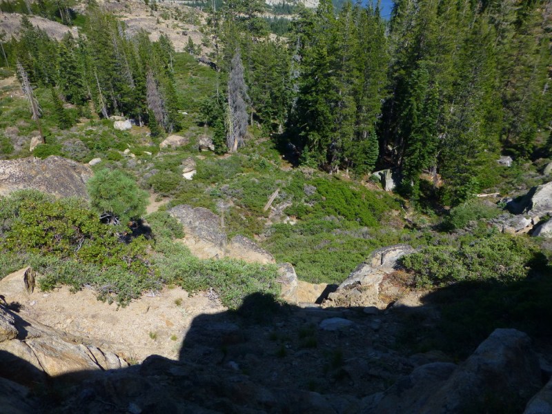
Instead we chose to go left and try and get back down to PCT which we could just make out below the cliffs we were on.

Here is what we were dealing with:


We finally gave up on going to PCT and just retraced back to Flora lake and everyone but me had a nice swim.

Next time we will go all the way to Lake Angela, probably following PCT till it meets up with side trail to that lake.


